Past projects
Below is a list of completed projects
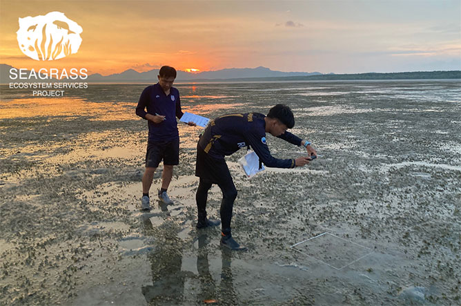
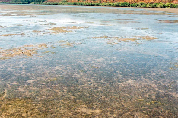
Seagrass Ecosystem Services Project
The ‘Conservation of biodiversity, seagrass ecosystems and their services – safeguarding food security and resilience in vulnerable coastal communities in a changing climate’ project (Seagrass Ecosystem Services project) is managed by the Secretariat of the Memorandum of Understanding on the Conservation and Management of Dugongs and their Habitats throughout their Range of the Convention on the Conservation of Migratory Species of Wild Animals (CMS Dugong MOU) and funded by the International Climate Initiative (IKI)
Project start date January 2019
Project end date December 2023
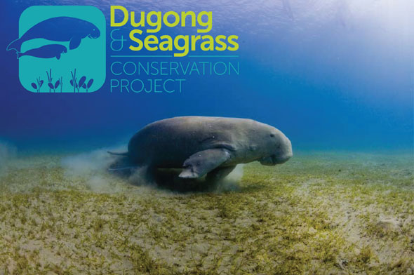
Dugong and Seagrass Conservation Project
The GEF-5 funded project “Enhancing the Conservation Effectiveness of Seagrass Ecosystems Supporting Globally Significant Populations of Dugongs across the Indian and Pacific Ocean Basins” was the first global movement for the conservation of dugongs and their seagrass habitats in eight countries from Africa to Asia and into the Pacific. The Project was executed by the Mohamed bin Zayed Species Conservation Fund, with implementation support by the United Nations Environment Programme and technical support from the Memorandum of Understanding on the Conservation and Management of Dugongs and their Habitats throughout their Range of the Convention on Migratory Species. The Project consisted of 43 national projects across Indonesia, Madagascar, Malaysia, Mozambique, the Solomon Islands, Sri Lanka, Timor-Leste and Vanuatu.
Project start date December 2014
Project end date February 2019
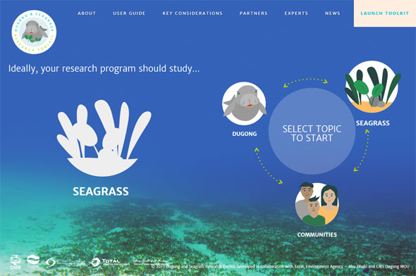
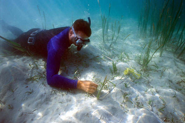
Dugong and Seagrass Research Toolkit
The Dugong and Seagrass Research Toolkit was an initiative by TOTAL, Total Abu Al Bukhoosh, Environment Agency – Abu Dhabi and CMS Dugong MOU to provide an easily accessible online resource that incorporates decision-making for the selection of the most appropriate methodologies for studies of dugongs, seagrasses and the associated human communities. The Dugong and Seagrass Research Toolkit has been developed to provide an easily accessible online resource that incorporates decision-making for the selection of the most appropriate methodologies for studies of dugongs, seagrasses and the associated human communities. The Dugong and Seagrass Research Toolkit is targeted for use by researchers, non-government/civil society managers and decision-makers in dugong Range States. A documentary about the Toolkit provides a useful overview of the why the Toolkit is making a significant contribution to dugong and seagrass conservation.
Project start date September 2015
Project end date March 2017
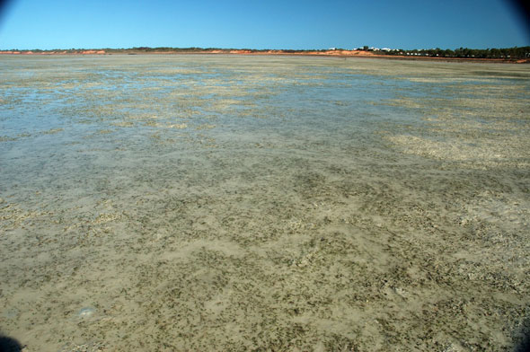
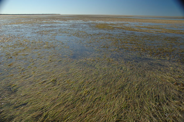
Broome Community Seagrass Monitoring Project: 10 Year Report Card
Project start date February 2017
Project end date June 2017
Singapore Strait Comprehensive Marine Biodiversity Survey
Project start date May 2013
Project end date June 2016
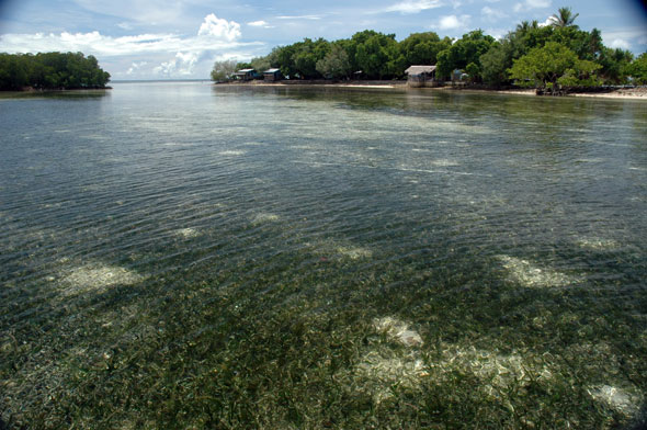
Solomon Islands Marine Assessment
Project start date May 2004
Project end date June 2006
Pohnpei Ecological Assessment
Project start date June 2005
Project end date October 2005
Seagrass resources of the Booral Wetlands & Great Sandy Strait 1999-2002
Project start date February 2002
Project end date February 2003